Navigating the Wildland Urban Interface: Strategies for Protecting Your Home and Community
Posted on: June 1, 2023

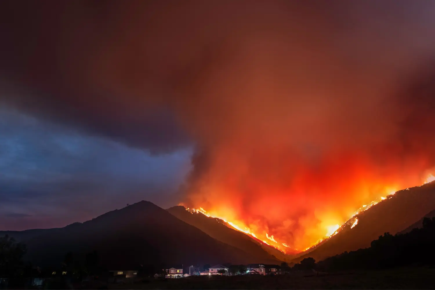
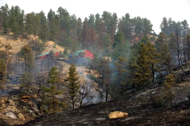
Wildfires have become all too common in recent years, wreaking havoc on communities and the environment. As a result, we need effective wildfire management now more than ever, especially in areas where human development intersects with wildland vegetation. So, how can we safeguard our communities from the constant wildfire threat? The answer lies in understanding the Wildland-Urban Interface (WUI) and implementing strategies to reduce fire risks in these areas.
In this article, we’ll explore the concept of the WUI, discuss the factors contributing to its growth, and delve into strategies for minimizing fire risks in these vulnerable regions. We’ll also share inspiring case studies showcasing successful WUI fire management efforts, highlighting the power of community collaboration and innovative technology solutions in mitigating wildfire threats.
Summary
- Understanding the Wildland-Urban Interface (WUI) is crucial for protecting communities from wildfire risks.
- Strategies for reducing fire risk in WUI areas include Community Wildfire Protection Plans, fire-adapted communities, and building and landscaping guidelines.
- Successful WUI management necessitates community collaboration and the utilization of innovative technology solutions like alerting systems, drones, robots, and satellites.
Understanding the Wildland-Urban Interface (WUI)
The Wildland-Urban Interface (WUI) is a critical area where human development and wildland vegetation coexist, creating a higher risk of devastating wildfires. With population growth and climate change exacerbating wildfire risks, comprehending the WUI and implementing protective strategies are paramount to safeguarding communities and the environment.
To achieve this, we must grasp the dynamics of the WUI, including the landscape’s physical characteristics, vegetation types, human activities, and potential climate change impacts.
Defining the WUI
The WUI refers to areas where residential development is near trees or dense vegetation, which pose a higher risk of wildfires. Experts primarily assess vegetation cover and housing proximity to determine the WUI threshold.
Recognizing and acknowledging wildfire risk assessment in WUI areas is the first step toward addressing the risks and implementing effective management strategies.
Factors Contributing to WUI Growth
WUI expansion primarily stems from housing growth, with vegetation increases playing a secondary role. Other contributing factors include rising housing costs, climate change, reduced land management practices, and relaxed housing regulations.
For instance, according to PNAS, from 1990 to 2010, areas classified as wildland-urban interfaces in the United States saw significant growth in the number of new houses (41% increase) and the land area (33% increase). As WUI areas continue to expand, it becomes crucial to tackle the challenges associated with this growth to mitigate fire risks.
Mapping and Assessing WUI Areas
Mapping and assessing WUI areas are vital for understanding wildfire risks and developing strategies to minimize them. High-resolution maps, created using remote sensing data, enable a detailed analysis of vegetation density, cover, and housing proximity to dense vegetation.
Accurate mapping and assessment empower communities and policymakers to comprehend and effectively address the unique challenges of WUI areas.
Strategies for Reducing Fire Risks in WUI Areas
Several strategies can be employed to reduce fire risks in WUI areas, including creating Community Wildfire Protection Plans (CWPPs), fostering fire-adapted communities, utilizing fire suppression techniques, and implementing building and landscaping guidelines.
These approaches enhance community resilience against wildfires and minimize potential losses.
Community Wildfire Protection Plans
A Community Wildfire Protection Plan (CWPP) is a document that outlines strategies to mitigate wildfire risk in a specific area. It includes information on the local environment, fire history, and potential fire hazards. The primary objective of a CWPP is to assist communities in becoming fire-adapted and reducing fire risks.
Training is crucial in developing a successful CWPP as it equips community members with the knowledge and tools to address wildfire risks effectively. CWPPs promote collaboration and shared responsibility for wildfire prevention and response by actively involving the community in the planning process.
Fire-Adapted Communities
A fire-adapted community recognizes the higher risk of wildfires and takes proactive steps to mitigate those risks, thereby reducing the likelihood of loss. Fire-adapted communities are better prepared to respond to and recover from wildfires.
To create a fire-adapted community, measures such as developing a CWPP, adhering to building and landscaping guidelines that prioritize fire resistance, and fostering community collaboration on wildfire safety are crucial. Successful examples of fire-adapted communities, such as the City of Flagstaff in Arizona and the City of Santa Rosa in California, demonstrate the positive impact of community-driven initiatives.
Building and Landscaping Guidelines


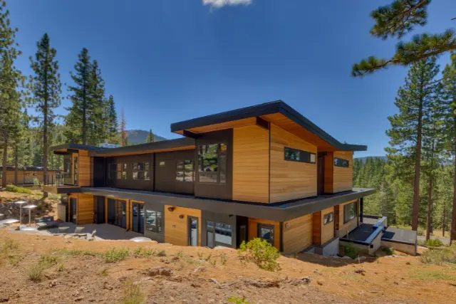
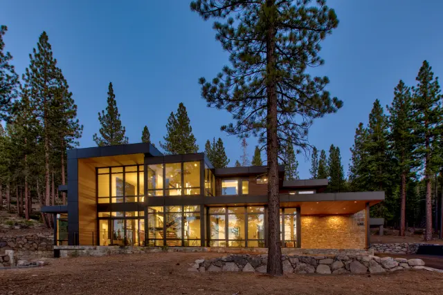
Implementing building and landscaping guidelines tailored to the specific needs of WUI areas is essential for reducing the risk of wildfires. These guidelines may include using construction methods that minimize the risk of building ignition, creating defensible spaces by clearing vegetation, maintaining adequate distances between structures and flammable materials, and selecting fire-resistant plant species.
Choosing plants based on their fire resistance, climate suitability, irrigation needs and utilizing noncombustible materials for landscaping and mulch further reduces fire risks.
For instance, Fireline is a pressure-treated fire treatment that we offer is fully WUI and International WUI compliant and allows you to use natural wood on the exterior of your house, while still having the peace of mind that your structure is protected.
By implementing these strategies, communities can enhance their resilience against wildfires and create safer living environments in the wildland-urban interface.
Frequently Asked Questions
What is meant by the wildland urban interface?
The wildland-urban interface (WUI) refers to the areas where human development and wildland vegetation meet or overlap. It represents the boundary between built environments, such as cities, towns, and rural areas, and nearby natural habitats. As a result, the WUI can be a source of both natural resources and potential hazards, such as increased wildfire risk.
Why is the wildland-urban interface a major challenge for firefighters?
The wildland-urban interface presents a significant challenge for firefighters due to the proximity of populated areas, increasing the risk of property damage and civilian injuries. Additionally, hazardous materials often used near homes and limited access to the fire zone can pose significant dangers to first responders, making firefighting operations in the WUI complex and demanding.
What is a wildland urban interface area within Colorado?
In Colorado, the wildland-urban interface (WUI) refers to the areas where human development and forested or wildland vegetation intersect. These areas are crucial in maintaining healthy forests and reducing the risk of wildfire damage to people and property. In addition, creating fire-resistant landscapes throughout the WUI region helps mitigate the risk of wildfires and protect the environment.
What does WUI mean in construction?
In construction, the term Wildland-Urban Interface (WUI) refers to areas where built-up urban environments meet undeveloped wildlands. It designates the transition area between these two environments, providing a buffer zone that helps reduce risks associated with wildfires and other potential hazards. The concept of the WUI is crucial in construction to protect both urban and wildland areas and minimize the risk of wildfires spreading into populated regions.


